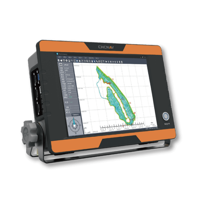
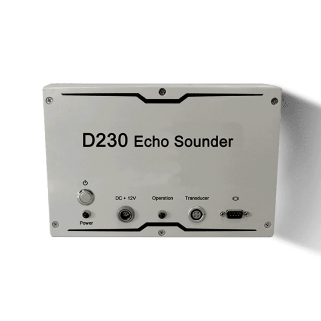
The D390 is a fully integrated and affordable single frequency echo sounder solution combined with the performance of an industrial PC. Light, portable and with a rugged IP66 aluminum alloy enclosure, the D390 is easy to set up and to deploy in any remote location.
SIMPLIFIED SURVEY OPERATION
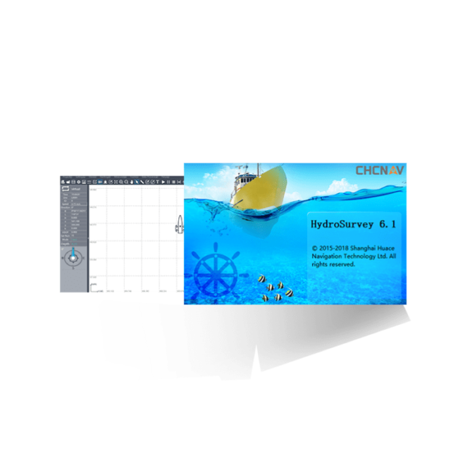
HydroSurvey7 manages your project within a single intuitive software from positioning and navigation to data acquisition and data processing and export in CSV format.
STANDARD DGNSS AND SENSORS INTERFACES N AND STAKEOUT
The D390 is easy to pair with any GNSS RTK receiver outputting standard NMEA messages and offers enhanced compatibility with CHCNAV GNSS receivers.
ULTRA-FAST STARTUP WITHOUT LAG TIME
The embedded Windows 10 operating system provides fast boot and total operation stability. The D390 allows you to start your survey rapidly, save time and enable you to achieve results faster.
D270
SINGLE-BEAM ECHOSOUNDER FOR
BATHYMETRIC SURVEY
VERSATILE SINGLE BEAM ECHO SOUNDER
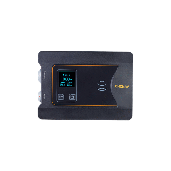
The D270 is a complete package consisting of the D270 controller, a transducer with built-in temperature probe, and its mounting mast. Operating at a frequency of 200 kHz, the D270 provides a maximum depth measurement capability of 200 meters. Its wireless connection to an optional GNSS RTK receiver is ideal for high accuracy bathymetric surveys. The D270 is particularly well suited for river cross-section surveys and reservoir capacity assessments.
INFORMATION AT A GLANCE
The D270's OLED display provides a quick and comprehensive overview of vital data, including voltage status, water depth, and GNSS satellite tracking. Users can easily switch to view additional information such as water temperature, sound velocity, and draft, making it a versatile and user-friendly way to monitor operations effectively.
GREATER CONVENIENCE AND EFFICIENCY
Bluetooth and Wi-Fi connectivity enhances both convenience and efficiency by enabling wireless setup when used with an optional GNSS receiver. Integrated connectivity streamlines wireless communication and data transfer, increasing workflow efficiency and ensuring seamless bathymetric surveying operations.
ENHANCED OPERATIONAL SAFETY
By giving operators immediate alerts of shallow water and data anomalies, the D270 significantly improves operational safety. Its proactive workflow ensures safe operation and reliable results when conducting bathymetric surveys, even in challenging environments.
RiverStar ADCP 1200/600
High-accuracy advanced acoustic
doppler current profilers with a 5-beam
solution and 300kHz measurement for
shallow and deep waters.
SMART SYSTEM
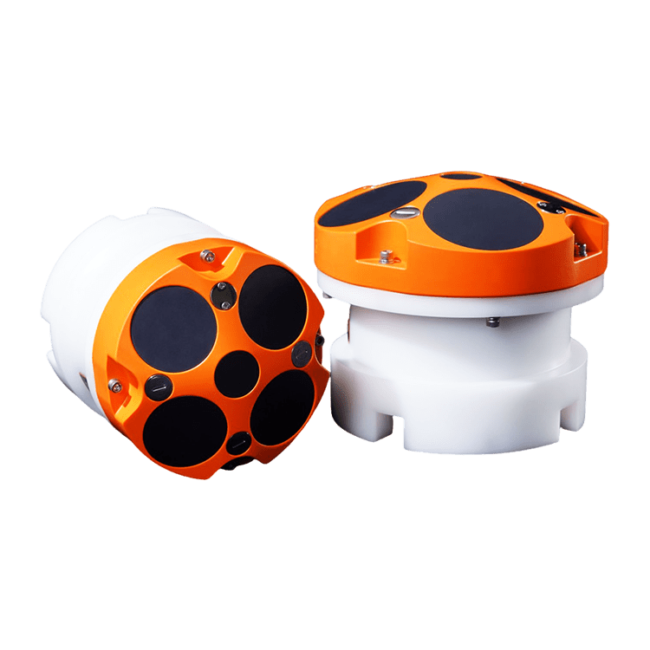
The RS1200 and RS600 ADCPs feature a fully automated measurement mode, eliminating the need to manually configure flow measurement parameters. Data can be stored both in on-board memory and synchronized via software, ensuring reliable data retention and accessibility for comprehensive analysis.
USER-FRIENDLY SOFTWARE ECOSYSTEM
HydroProfiler for PC offers custom page layouts, data output, and compatibility with external echo sounders, enabling efficient data transfer via network protocols for hydrological analysis. Easysail software for CHCNAV Apache 4 USV facilitates data switching for various formats, including velocity profiles and satellite maps, and enables one-click file transfer and code sharing to a computer.
DEEP-WATER MEASUREMENT
The RS series ADCP is equipped with a 300 kHz central bathymetric beam and is compatible with an external low-frequency echo sounder. This combination allows it to effectively penetrate high sand water conditions and accurately capture bottom data. Additionally, it can operate in 30% more environments compared to traditional surveying methods.
SHALLOW WATER ADAPTABILITY
The RS1200 and RS600 automatically switch to Pulse Coherent Signal mode in shallow and low-flow water. The RS1200 has a minimum layer thickness of only 2 cm and a blind area of only 15 cm, allowing data collection in water as shallow as 30 cm, making it ideal for a variety of water conditions.
VERSATILE CARRIER COMPATIBILITY
The RS1200 and RS600 ADCPs can be mounted on various types of surface vessels, including USVs, trimarans, cableway towing systems, motorized survey vessels, and channel buoys. Their flexibility ensures that our ADCPs can be used effectively in a wide range of hydrological survey scenarios.
HIGH ACCURACY
The innovative hardware design of the RS1200 and RS600 significantly reduces noise, improving the signal-to-noise ratio by 5dB. Compared to traditional methods, accuracy is increased by more than 50%, providing reliable and precise data for various applications.
HydroSurvey Software
Raw data collection, mapping,
positioning, displaying real-time track,
data processing and coordinates file
export.
HydroSurvey Software
Raw data collection, mapping, positioning, displaying real-time track, data processing and coordinates file export.
Intuitive set up of GNSS RTK and echo sounder parameters
Real-time display of echo sounder data and RTK position
Self-checking of echosounder data to enhance survey quality