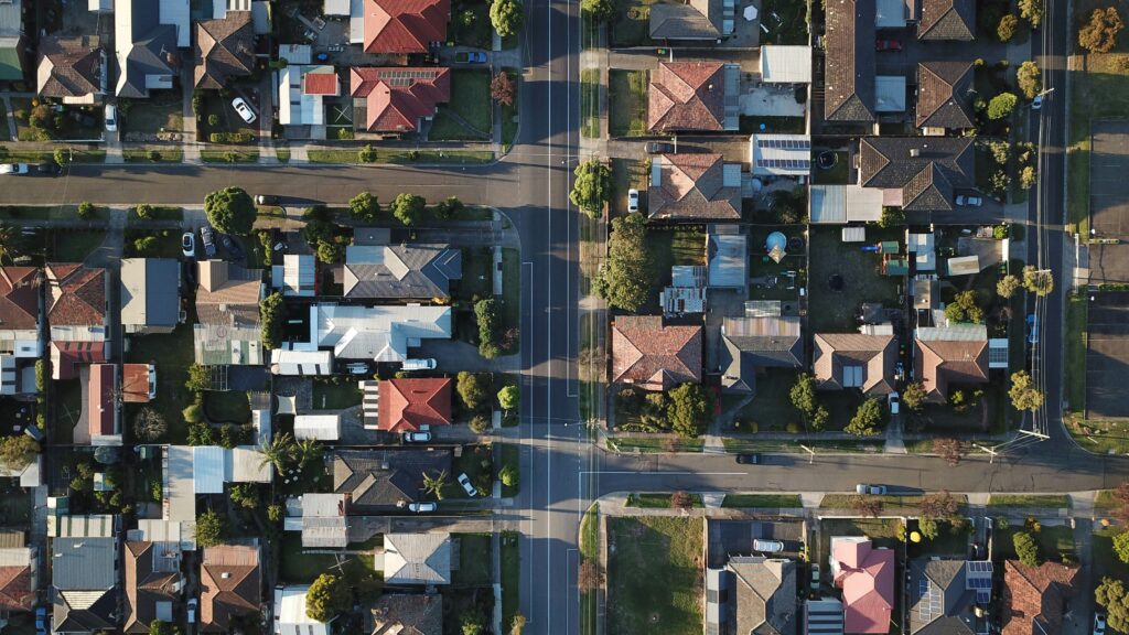


DroneWays helped us capture stunning aerial footage for our real estate listings, making our properties stand out. Their attention to detail and commitment to quality exceeded our expectations. We saw an immediate boost in interest and sales

The DroneWays team provided us with a safe and efficient way to inspect our industrial assets. Their drone technology reduced downtime and eliminated the need for manual inspections in hazardous areas. A true game changer

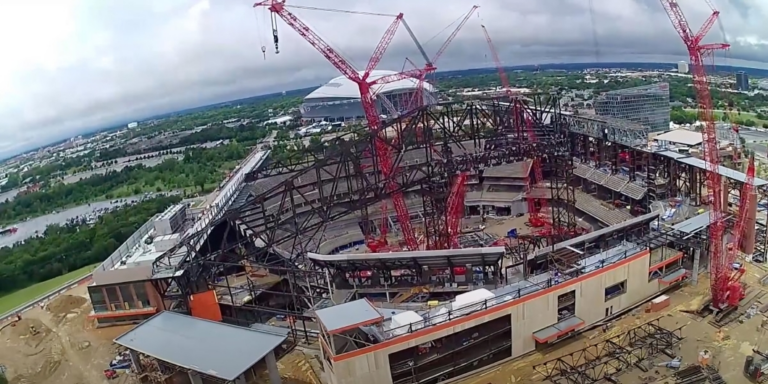
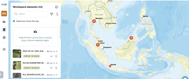
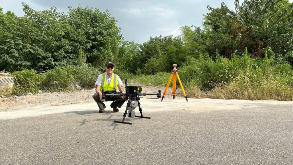
We needed high-resolution mapping for a construction project, and DroneWays delivered beyond what we expected. Their team was professional, and the data they provided was accurate and timely. We will definitely be working with them again