
Controllers & Tablets

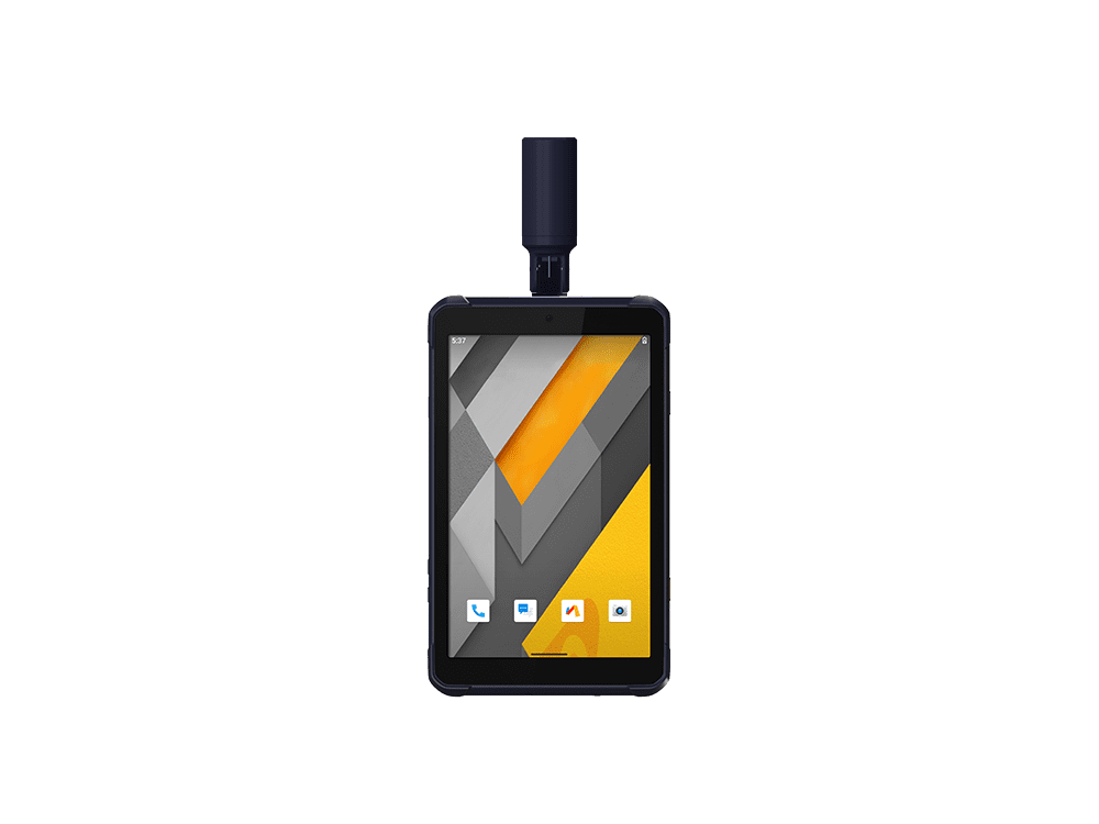
LT800H RTK
Professional rugged Android tablet for high-precision GIS data collection, forensic mapping, construction site layout, environmental surveying, and landscaping.
BRING ACCURACY AT YOUR FINGERTIPS
Featuring a high performance 1408 channel GPS, GLONASS, Galileo and BeiDou module and a superior tracking GNSS helix antenna, the LT800H RTK Android tablet delivers best-in-class centimeter to decimeter positioning accuracy in the most challenging environments. Its built-in 4G modem ensures seamless connectivity to GNSS RTK network corrections.
HIGH PORTABILITY AND VERSATILE
The LT800H's Google Mobile Service (GMS) and Android Enterprise Recommended (AER) certifications assure software compatibility and optimal performance. The tablet is designed to work seamlessly with the most popular enterprise data collection applications available from the Google Play Store. The LT800H's certification ensures the highest levels of security and usability, making it ideal for easy integration into existing IT ecosystems.
HIGH PERFORMANCE IN ALL ASPECTS
Powered by a 2.0 GHz octa-core processor, the LT800H RTK Android tablet displays large maps and data sets without lagging or slowing down. The 8.1-inch Corning Gorilla Glass 3 direct sunlight viewable capacitive IPS touchscreen provides durability and allows data capture with a stylus, gloves or wet hands for all working conditions. Its dual SIM 4G modem provides fast, reliable connectivity between teams in the field.
KEEP YOUR DATA SECURE
The LT800H Android RTK tablet is designed to withstand harsh environments and adverse weather conditions, ensuring that data is always safe wherever it is collected. The LT800H also offers an impressive 8 hours of battery life, allowing mobile crews to focus on collecting data without interruption. Extended battery life means less downtime and more productive time in the field.
LT60H
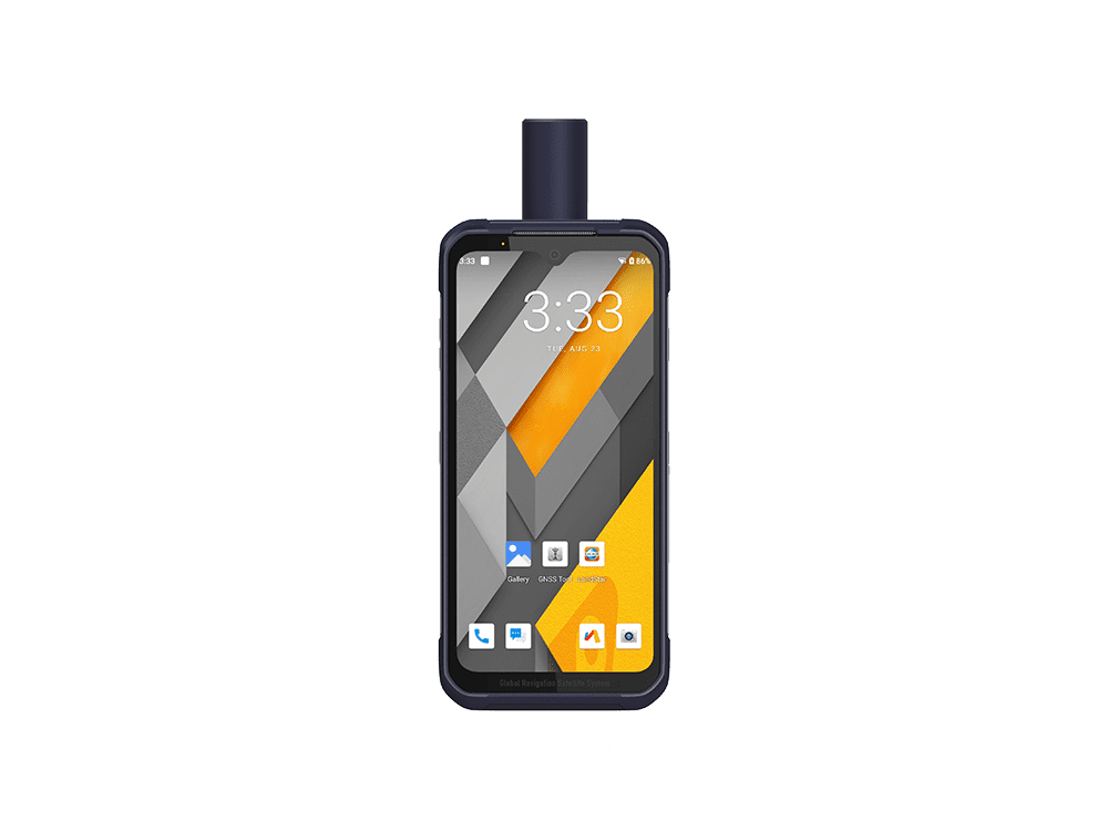
A rugged GNSS RTK smartphone, reliable and effective tool for a variety of industries and applications that require cm or dm positioning accuracy, such as precision GIS data collection, urban construction, pipeline inspection and more.
SURVEY-GRADE GNSS POSITIONING
The LT60H features a high-performance 1408 channel positioning module supporting GPS, GLONASS, Galileo, and BeiDou and a high-efficiency quadrifilar helix GNSS antenna. This advanced technology delivers industry-leading centimeter- and decimeter-level accuracy, even in challenging environments.
IPS DISPLAY FOR EXTRA COMFORT OF USE
The LT60H has a stunning high-resolution screen with over 400 PPI for exceptional clarity and detail. With a Corning Gorilla Glass 3 IPS display, it also offers high durability in all weather conditions, ensuring your device is protected in even the harshest environments. Its 5-point capacitive touch screen allows data capture with a stylus, gloves, or even wet hands to accommodate different operating conditions.
PERFORMANCE AND COMPATIBILITY WITH GMS & AER CERTIFICATION
The LT60H is GMS and AER certified for full compatibility with popular data collection apps. It features 4G and WiFi modems for seamless field-to-office communication and reliable RTK GNSS network connectivity. Powered by a 2 GHz Qualcomm Snapdragon octa-core processor, it handles large datasets and complex tasks effortlessly, making it ideal for the mobile workforce.
RUGGED, DESIGNED FOR TOUGH JOBSITE ENVIRONMENTS
Industrial IP67 design with 6,000 mAh Li-ion battery. The LT60H's IP67-rated industrial design and 6000 mAh Li-ion battery make it one of the most rugged and reliable devices on the market, ensuring your data is safe even in harsh environments and adverse weather conditions. With up to 8 hours of battery life, the LT60H provides uninterrupted data collection for field operations and extended work days.
HIGH ACCURACY GEOSPATIAL DATA COLLECTION
The LT60H is a vital tool for mapping, surveying, and asset management, delivering high-precision positioning and real-time data. It boosts efficiency for professionals in industries like agriculture, construction, mining, forestry, environmental monitoring, and more, ensuring accurate site mapping, control points, and structure layouts.
LT800
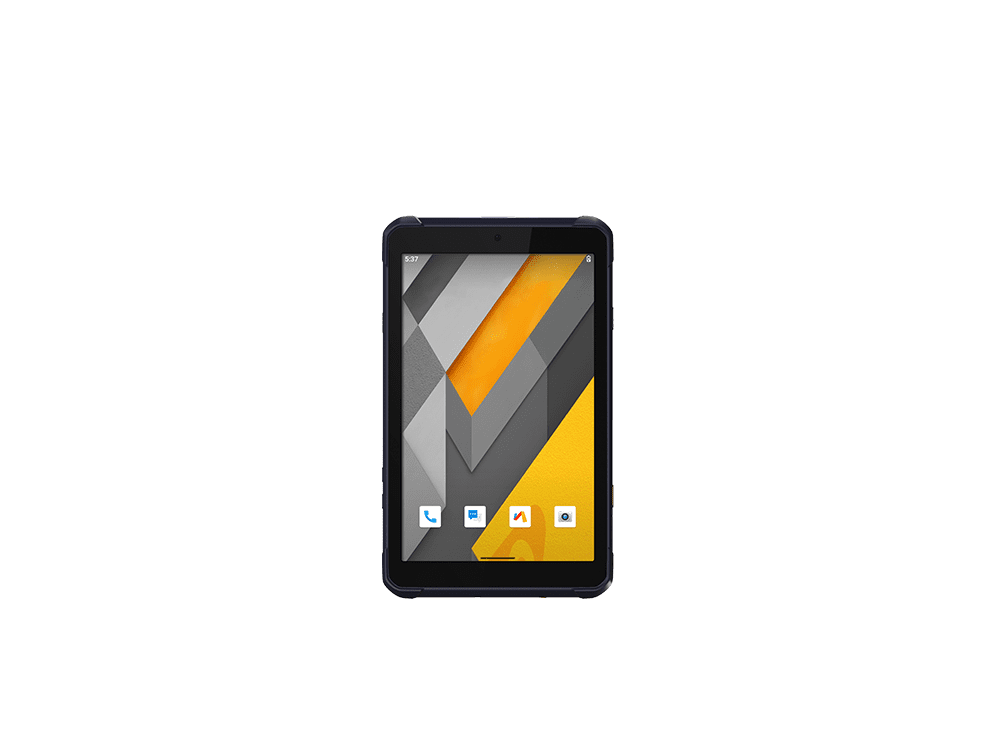
A robust Android tablet tailored for professional applications, facilitating high-accuracy GIS data collection, forensic mapping, construction site layout, environmental surveying, and landscaping.
ROBUST, HIGH-SENSITIVITY GNSS POSITIONING
The LT800 Android tablet features a high-performance, high-sensitivity 45-channel GNSS module supporting GPS, Glonass, Galileo, and BeiDou to deliver meter-level positioning accuracy in the most challenging environments, making it valuable for applications in surveying, construction, agriculture, and environmental monitoring industries.
ENHANCED PRODUCTIVITY AND CONNECTIVITY IN ANY ENVIRONMENT
The LT800 Android tablet boosts productivity with a 2.0 GHz octa-core processor for smooth map and data display. Its dual-SIM 4G modem ensures fast field connectivity, while the 8.1" Gorilla Glass touchscreen offers durability and works with a stylus, gloves, or wet hands for any conditions.
SEAMLESS ENTERPRISE INTEGRATION AND MAXIMUM SECURITY
The LT800's Google Mobile Service (GMS) and Android Enterprise Recommended (AER) certifications provide assurance of software compatibility and optimal performance. The tablet is designed to work seamlessly with the most popular enterprise data collection applications available in the Google Play Store. The LT800's certification ensures the highest levels of security and usability, making it ideal for easy integration into existing IT ecosystems.
RELIABLE DATA COLLECTION AND EXTENDED BATTERY LIFE
The LT800 Android RTK tablet is built to withstand harsh environments and adverse weather conditions, ensuring that data is safe no matter where it is collected. The LT800 also offers an impressive 10 hours of battery life, allowing mobile professionals to focus on collecting data without interruption. Extended battery life means less downtime and more productive time in the field.
HCE600
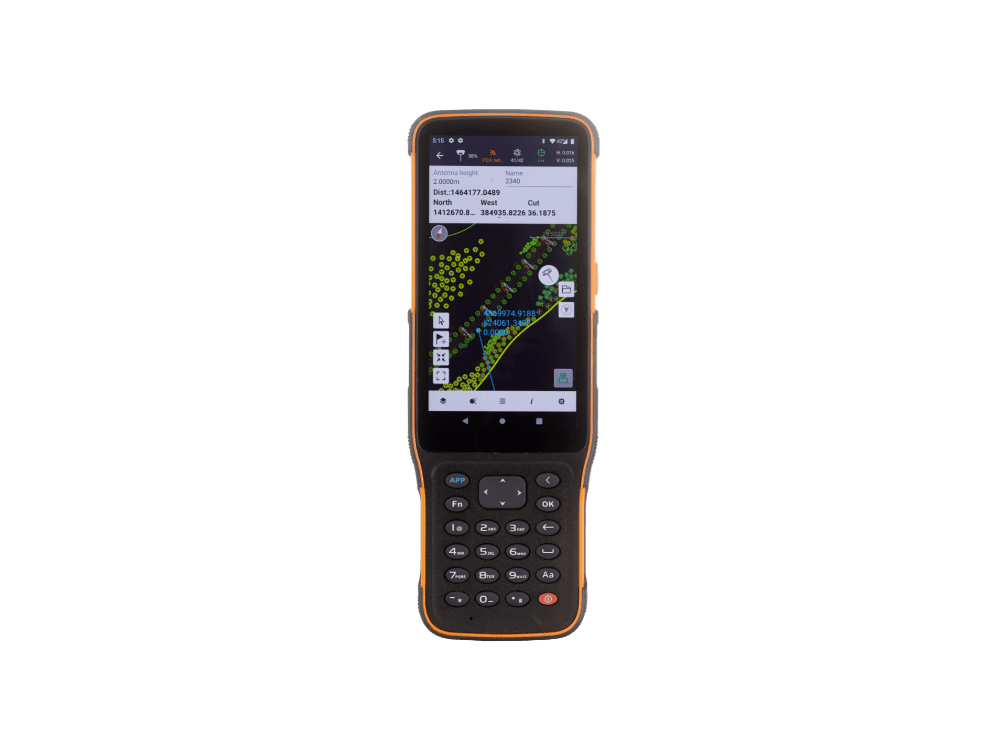
Ultra-rugged Andriod data controller with 5.5” HD+ display for surveying and construction applications
POWERFUL PLATFORM FOR FIELD DATA COLLECTION
The HCE600 is powered by an eight-core Helio MTK 6762 processor, offering 50% faster performance and 25% less power consumption. Running on Android 10, it ensures smooth CAD management and fast data transfers with LPDDR4 memory. It also features a 4G modem for reliable connectivity and includes a 90-day trial of the LandStar 7 app with cloud services for remote support.
DESIGNED FOR MOBILE WORKFORCE
The HCE600 is only 1.54 cm thick and weighs only 345 g, making it the ultimate ultra-lightweight handheld for surveying and mapping applications. Based on an ergonomic design optimized for field use, its one-handed grip provides excellent handling and easier operation. A customizable shortcut key on its side allows for one-step measurement for quick data entry. The all-day battery life provides uninterrupted data collection in the field.
BRILLIANT HD+ DISPLAY
The high-brightness 5.5-inch HD+ display makes viewing your projects more comprehensive and intuitive. Complex survey projects, DXF base maps and data tables are displayed with more details to enhance the viewing experience. With up to 500 nits brightness, your data always remains easily readable for operations in all weather conditions, whether in direct sunlight or on a rainy day. Projects and maps are accessible in your working environment, allowing you to focus on your tasks in the most efficient way
EXTENDED FIELD PERFORMANCE
The HCE600 Asahi DragonTrail™ glass display is ultra-tough and scratch-resistant, offering durability against wear and drops up to 1.5 m. With MIL-STD 810 certification and an IP67 rating, it's built for harsh surveying and construction environments. The nine-axis compass with gyro fusion ensures accurate heading by correcting magnetic interference, enhancing efficiency for tasks like GNSS RTK stakeout surveys.
e-Newsletter
Sign up for our newsletter to stay updated on the latest innovations, product launches, insightful case studies, and exclusive event invitations.
CONTACT US
- [email protected]
- +61 730 400 587
- Australia
Explore
- Our Services
- Products
- About Us
company
- Support
- Distributions
- Case Study
help center
- Contact
- Feedback