
Software

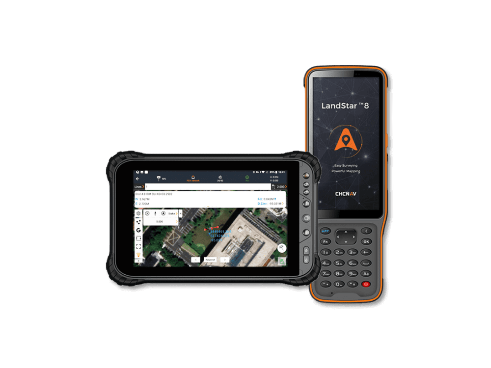
LandStar 8
EASY TO USE AND FEATURE-RICH
LAND SURVEYING AND MAPPING
APP FOR ANDROID
ROBUST, HIGHUSER-FRIENDLY OPERATION-SENSITIVITY GNSS POSITIONING
LandStar 8 offers a simple, intuitive layout with large map windows and clear graphics, making surveying and mapping easier. Only relevant information is shown, with unused functions hidden for a streamlined experience. Integrated video tutorials help users master the app quickly, and its modular design ensures flexibility for a wide range of applications.
ADVANCED DISPLAY OF BASE MAPS
LandStar 8's proprietary MetaCAD graphics engine opens DWG and DXF base maps faster, with smoother rendering and an improved user experience. DXF files up to 200 MB can be opened on CHCNAV handheld controllers in less than 10 seconds. Smart base map functions include "Quick Code" for one-click feature coding to automatically create line features to increase project productivity. LandStar 8 supports the opening of external reference files, automatically recognizes CAD length units, and allows editing of CAD base maps directly in the field.
START SURVEYING IN A FRACTION OF SECONDS
When creating a project, LandStar 8 makes it easy to copy coordinate settings, control, and stake-out points from another handheld controller just by scanning a QR code. Projects can be conveniently edited and sorted by history and properties, making them easy to navigate. Custom coordinate systems, geoid models, and codification libraries, ... can be dynamically updated via resource packages. LandStar 8 also features a site calibration wizard specially designed to be uncomplicated for non-expert users.
EXTENDED CLOUD CONNECTIVITY
LandStar 8 is designed around an integrated cloud-based architecture, supporting project backup, collaborative work, data storage, and many other valuable features. Its remote support function helps the office helpdesk resolve user issues and provide personalized technical assistance. With the "share code" feature, users can quickly transfer project data between office computers and field controllers or between different field controllers to further enhance work efficiency.
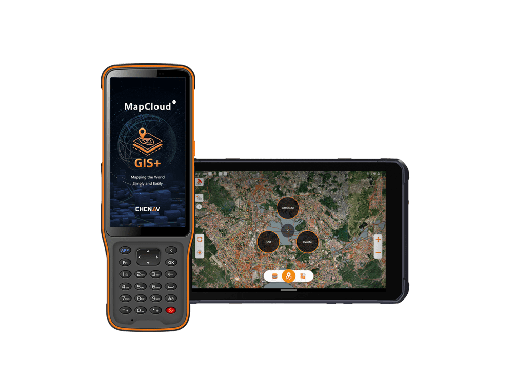
MapCloud
An advanced GIS data capture and
mapping app for Android devices. It
supports popular GIS formats, offers an
intuitive interface, and enables cloud-
based collaboration for efficient project
management across various industries.
POWERFUL PERFORMANCE
MapCloud's powerful mapping engine efficiently manages the loading, modification, and exporting of SHP files, supporting a wide range of popular GIS formats, including DWG, DXF, SHP, KML, GPX, TIF, IMG, MBTiles, JPG, WMS, and WFS. Users can easily load GB-grade SHP files and visualize detailed attributes, while TB-grade TIF files can be quickly processed with fast browsing and seamless integration with online base maps from sources like Google, Bing, WMS, and WFS. Unique thematic values and labels simplify complex data analysis and visualization.
EASE OF USE
The intuitive design of MapCloud features large map windows and vivid graphics that streamline surveying and mapping operations for users at all levels of expertise. Customizable industry-specific layer templates and simultaneous multi-feature capture capabilities improve efficiency by more than 50%. The software supports thematic maps to enhance data displays and includes built-in video tutorials and localization tools to help operators quickly adapt to different field conditions.
RICH FUNCTIONALITY
MapCloud efficiently manages multiple data types, including points, lines, and polygons, along with extensive attribute libraries. It offers multiple measurement methods, numerous import and export formats, and a comprehensive library of global coordinate systems. Essential functions such as coordinate stakeout, track recording, and length and area measurements are enhanced with voice or audible prompts for ease of use in the field. Additionally, the software supports secondary development to provide capabilities to obtain high-accuracy GNSS data.
EXTENDED CLOUD CONNECTIVITY
MapCloud's integrated cloud-based framework facilitates efficient teamwork by supporting project backup, collaboration, and extensive data storage. The Sharing Code feature simplifies the transfer of project data between office computers and field controllers, as well as between different field devices. As a result, teams can stay connected and informed, greatly improving the efficiency of multi-site project management and execution.
CGO2 Post Processing Software
More than post-processing, CGO2
dramatically improves GNSS data
management efficiency.
PROCESS MASSIVE FIELDWORK DATA
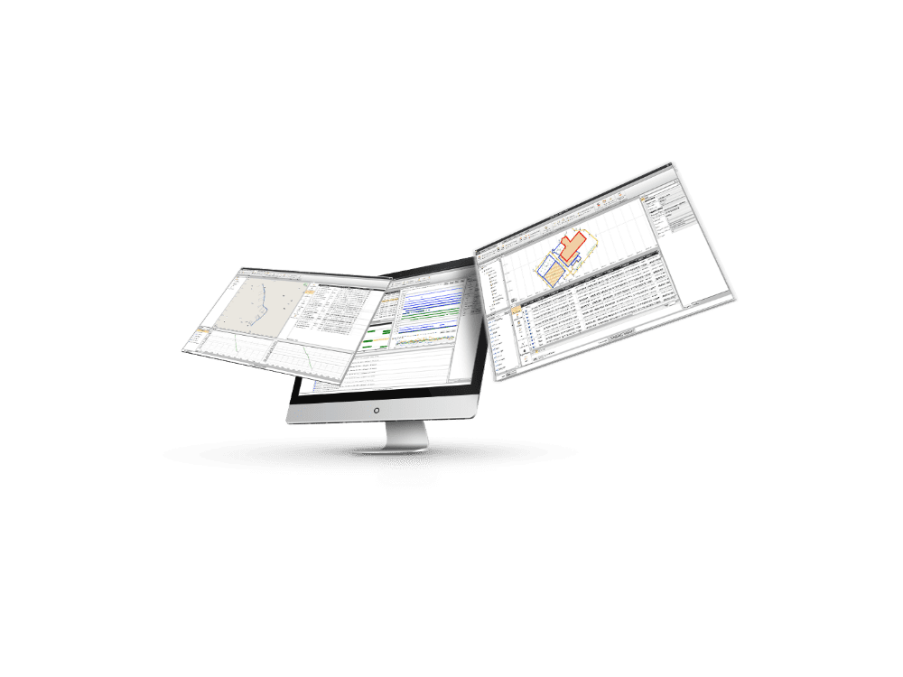
CGO2 is a all-in-one software to process GNSS data in static, PPK and PPP algorithms, edit surveyed features and use PPK post-processing results to correct field coordinates, stake out road elements, and compute corrected UAV track coordinates.
MORE TOOLS FOR EASIER OFFICE WORK
More than post-processing, CGO2 offers a large library of geodetic tools including coordinates and RINEX converters, TIFF map compressor (SIT), angle, distance and volume calculator, GNSS antenna manager and GNSS observation files splitter and merger.
DELIVER HIGH ACCURACY GEODETIC POSITIONS
Just with few clicks, GPS, GLONASS, BeiDou and Galileo static or dynamic GNSS raw data can be processed combining multiple observation file formats, predefined coordinate systems and various manufacturer antenna types.
INTUITIVE WORKFLOW FOR FASTER PROCESS
The CGO2 user interface layout and modules are customizable to have GGO2 adopting your preferred working habits. GNSS data processing is made easy throughout the entire process and fully documented in the built-in electronic user manual.
CPS GNSS NETWORK
GPS, GLONASS, BEIDOU and
GALILEO software solution for local,
regional and nationwide GNSS CORS
and RTK Networks.
RTK CORRECTIONS SERVICES AT REACH
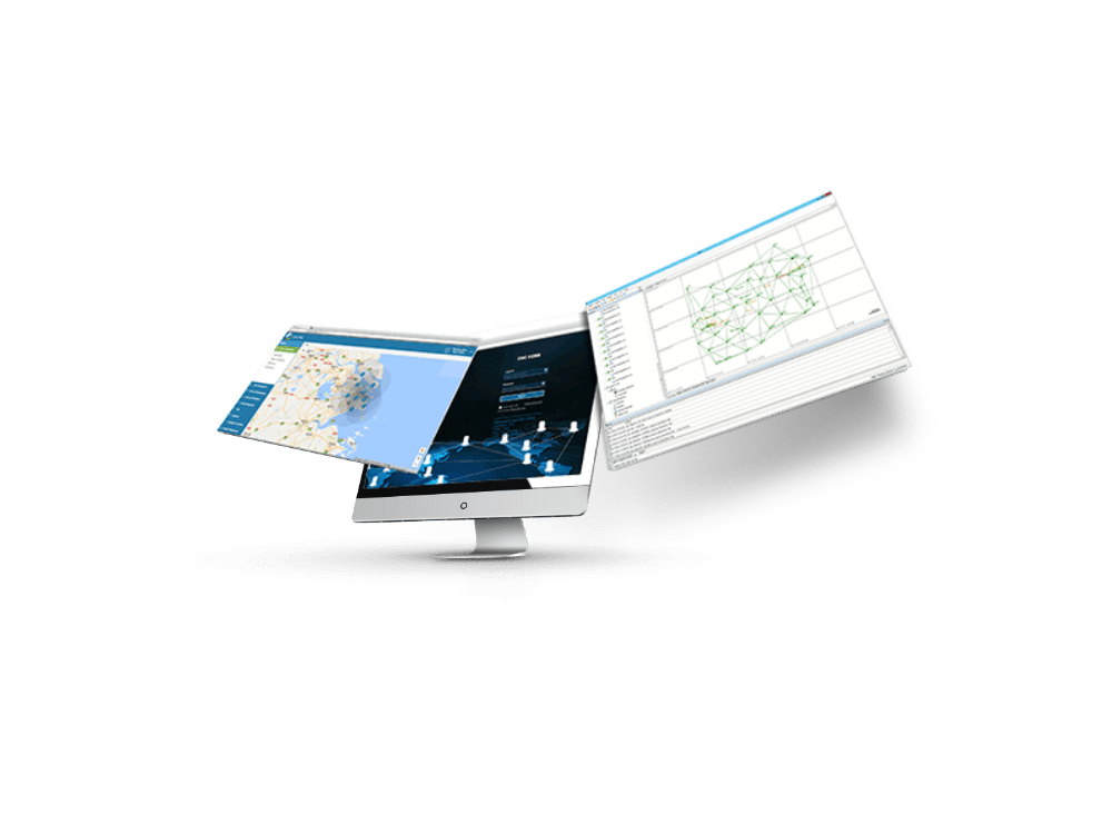
The modular CPS software ensures stability and scalability for RTK correction services. The CHCStream module streams raw GNSS data to the CPS core, which computes RTK corrections, handles real-time quality control, and manages subscriptions. CPSCaster offers unified user access to RTK networks, while CPSWEB provides a comprehensive platform for user management, subscriptions, and GNSS network administration.
HIGH ACCURACY FULL-GNSS POSITIONING SERVICES
CPS integrates all GNSS constellations -GPS, GLONASS, Galileo and BeiDou- to provide ultimate full-GNSS RTK positioning services to users. CPS is compatible with industry standard GNSS receiver models to enable the integration of existing reference stations in addition to CHCNAV's GNSS reference stations.
ADVANCED NETWORK RTK ALGORITHMS
CPS quality control module monitors the GNSS data quality in real time for each reference station. The data storage module converts the GNSS raw data from each reference station to RINEX or Binary data. The advanced GNSS corrections modules computes optimised RTCM RTK corrections.
EXTENDED FIELD PTURNKEY WEB MANAGEMENT FOR RTK CORRECTION SERVICES PERFORMANCE
Setting up your Network RTK is simplified with our CPS web-based management console. CPS Web is built around seven modules: RTK network configuration, SMS or email alerts, users management, subscription management including service packages, real-time reference station monitoring, GNSS data management and a location base system (LBS) module to monitor users in real-time.
GNSS Tools
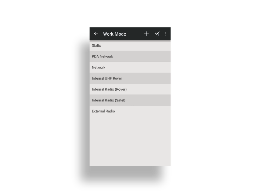
GNSS Tool is an Android configuration
app for CHCNAV receivers to set GNSS
RTK work modes and NMEA messages
output. Connecting our GNSS receivers
to your 3rd party software or system
solutions is made simple. ;
Switch between work modes in just 3 seconds
Support all NMEA messages outputs
Show accuracy estimate and RTK correction latency
Support immediate registration of CHCNAV receivers
e-Newsletter
Sign up for our newsletter to stay updated on the latest innovations, product launches, insightful case studies, and exclusive event invitations.
CONTACT US
- [email protected]
- +61 730 400 587
- Australia
Explore
- Our Services
- Products
- About Us
company
- Support
- Distributions
- Case Study
help center
- Contact
- Feedback